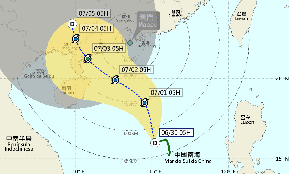
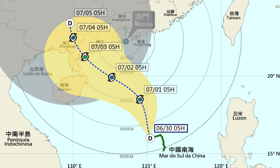
After raising Typhoon Signal No 1 yesterday evening, weather forecasters have warned that the Tropical Depression in the central part of the South China Sea will slowly intensify over the next two days, and move towards the western coast of Guangdong and Hainan Island.
The Meteorological and Geophysical Bureau (SMG) said the chance of issuing Typhoon Signal No 3 is relatively high tomorrow morning, while there was a lesser chance of raising Signal No 8 at the weekend.
Since another low pressure area is expected to develop in the ocean to the east of the Philippines, the intensity and the track of the Tropical Depression remains uncertain.
If the tropical cyclone takes a more northward track towards Macao, the possibility of issuing higher signals will increase.
Under the influence of the broad circulation of the tropical cyclone, its related rainband will start to bring unsettled weather to Macao later today.
The winds will intensify, with frequent showers and thunderstorms from Friday to Sunday.
Meanwhile, during the high phase of the astronomical tide, flooding less than 0.5 metres is expected on Friday and Saturday under the combined influence of the storm surge and persisted rain.
The SMG advised residents to take precautions and pay attention to news bulletins.


