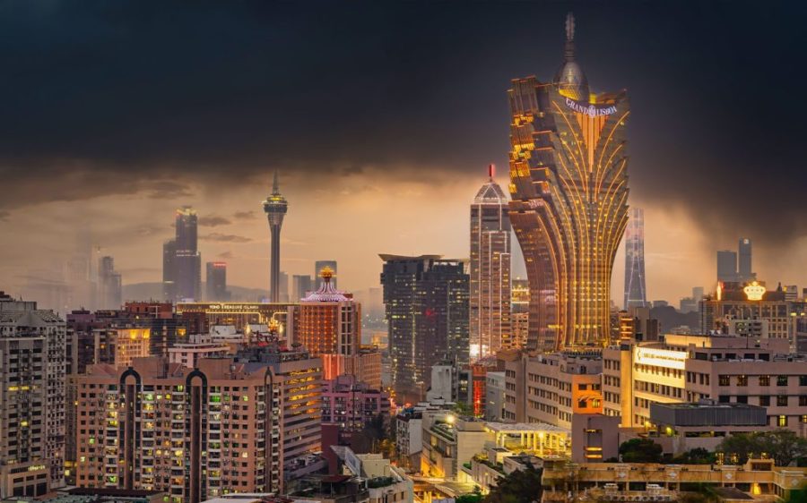
Macao may be affected by more typhoons this month, with the local forecaster declaring the city to have entered an “active period” for tropical cyclones.
In a special dispatch published yesterday, the Meteorological and Geophysical Bureau (known by its Portuguese initials SMG) warned that new tropical cyclones were likely to develop in the South China Sea and Northwestern Pacific Ocean over the rest of August.
SMG’s statement was issued in the aftermath of Sunday’s typhoon no. 3 signal – the sixth tropical cyclone alert raised so far this year. It was hoisted at 12 pm after a tropical depression came within 600 kilometres of Macao and lifted at 11 pm that same day.
[See more: The Ultimate Macao Typhoon Survival Guide]
While that tropical depression has since moved away, unstable weather is expected to continue today with heavy showers and occasional thunderstorms. Low-lying areas may also be at risk of flooding.
Macao’s weather is expected to improve by the middle of the week. According to SMG’s latest 7-day forecast, the daytime temperature from Thursday onwards should bounce back to a high of 32°C or more.
The 2025 typhoon season, which kicked off in June, is expected to run until at least until the end of October. SMG anticipated roughly 5 to 8 typhoons would hit the territory this year, a range it described as “normal to relatively high.”
Over the past two months, Macao has already been hit by Wutip, which was raised to a level 3 tropical cyclone in June, and Wipha, in July – the earliest instance of a level 10 tropical cyclone since local records began in 1968.


