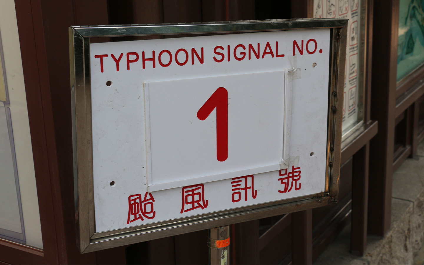
Macao’s Meteorological and Geophysical Bureau (known by the Portuguese initials SMG) says it will consider hoisting the no. 1 typhoon signal tonight or in the early hours of tomorrow morning, as tropical cyclone Matmo enters the South China Sea.
Matmo is now crossing northern Luzon and moving relatively fast. It is forecast by the Hong Kong Observatory to strengthen into a severe typhoon as it tracks in the direction of western Guangdong and Hainan Island.
The SMG says Matmo will come closest to Macao on Sunday. Under its influence, winds will significantly strengthen, with heavy showers expected from Saturday night.
[See more: The Ultimate Macao Typhoon Survival Guide]
The bureau also warns that the possibility of a storm surge cannot be ruled out in some low-lying areas, since Matmo’s proximity on Sunday morning coincides with an astronomical spring tide.
Good news for Mid-Autumn Festival revellers, however: forecasters say that Matmo will be heading away from Macao on Monday and dissipating gradually. The weather will improve over the coast of Guangdong for the Mid-Autumn Festival and on the day after, which is a public holiday.
Last month, Macao was battered by Typhoon Ragasa. The storm prompted the longest-lasting no. 10 tropical cyclone signal in the SAR since the start of records in 1968, with a duration of around 10.5 hours. Ragasa also marked the first time that Macao had issued two signal no. 10 warnings in the same year.


