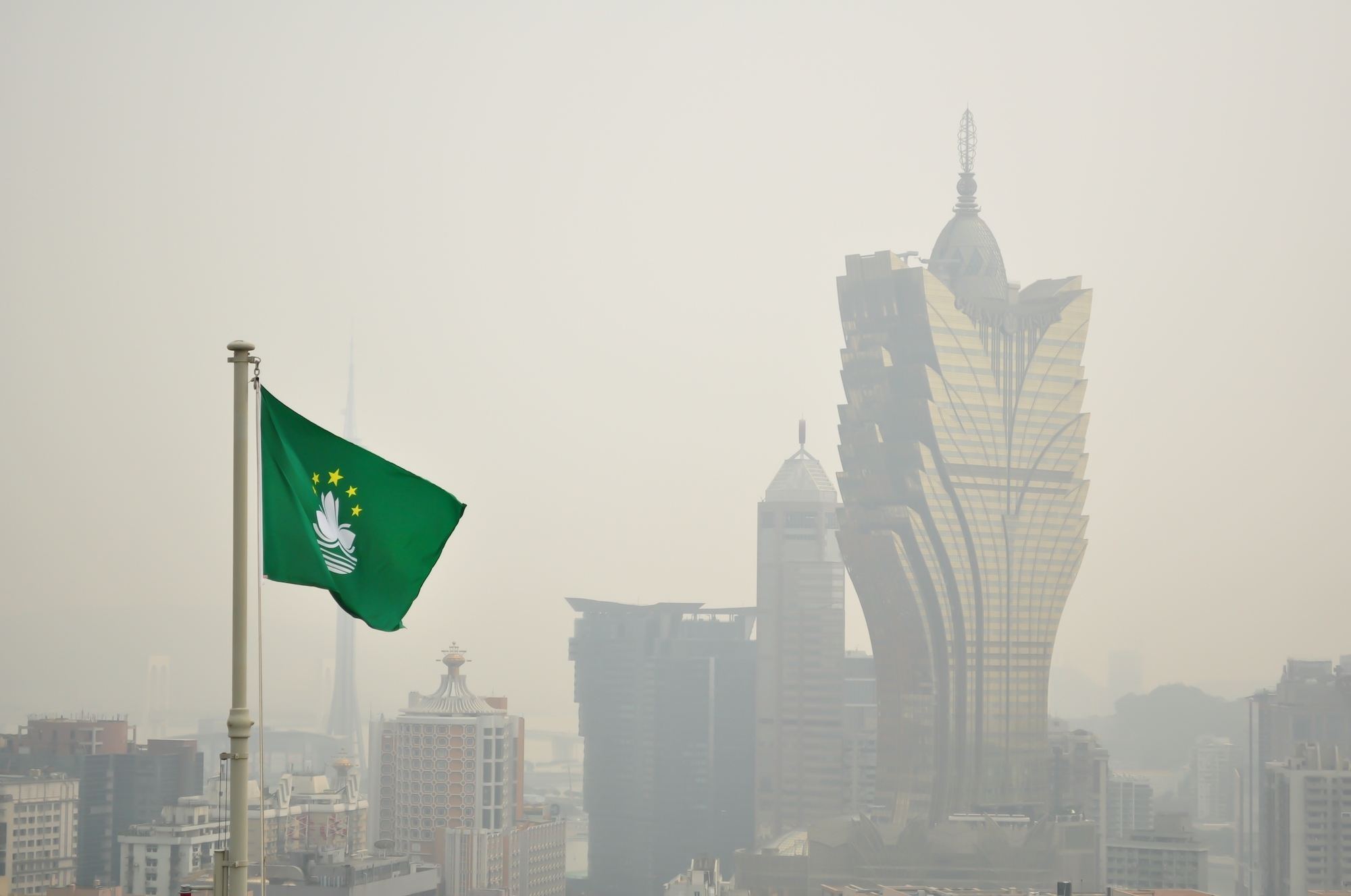
Tropical cyclone Koinu is expected to track within 800 kilometres of Macao by Thursday morning, on its journey towards southern Taiwan and the South China Sea.
The Meteorological and Geophysical Bureau (SMG) has forecast “showers and stronger winds” for later in the week, while the Hong Kong Observatory expects to issue its Standby Signal No. 1 tonight.
A separate monsoon tracking from the northeast is expected to reach southern China on Thursday. SMG predicts this will have a weakening effect on Koinu.
Meanwhile, the bureau has issued a yellow hot weather alert for the city – with maximum temperatures forecast to reach more than 33 degrees celsius. People are advised to beware of heatstroke.
[See more: Yes, this has been an exceptionally wet summer]
Macao has just emerged from its wettest summer in 15 years, with monthly average rainfall between June and 21 September sitting at more than 375 millimetres.
The typhoons Soala and Haikui were mostly to blame, causing significant flooding in the city in late August and early September.
Typhoon Saola was the fourth time SMG had hoisted the No. 10 typhoon signal in seven years; the same number of No. 10 signals issued between 1968 and 2016.
SMG has described this rise in extreme weather events as a confronting reminder of the planet’s changing climate.


