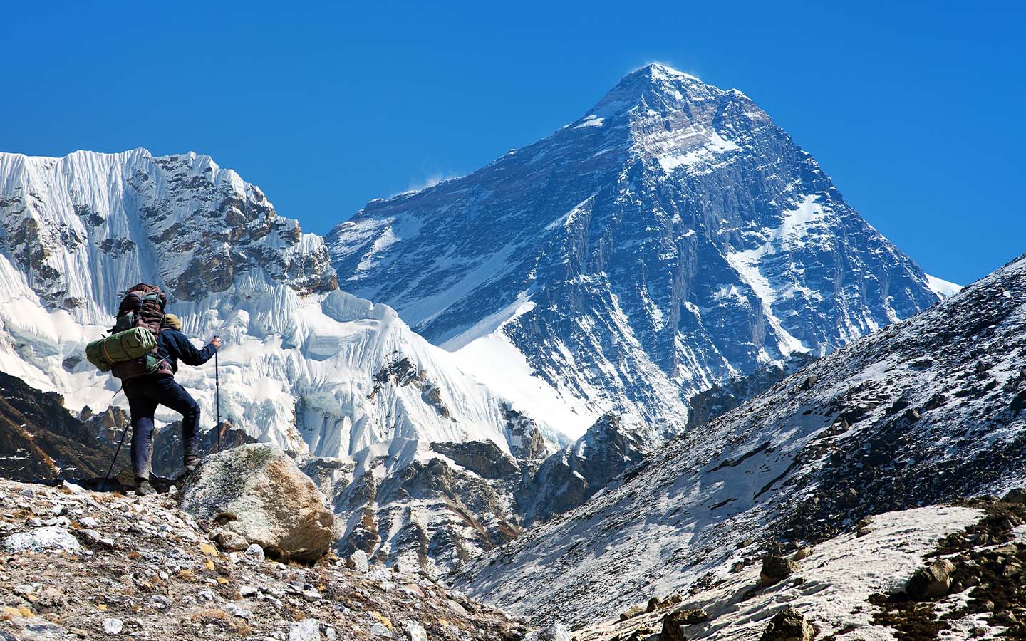
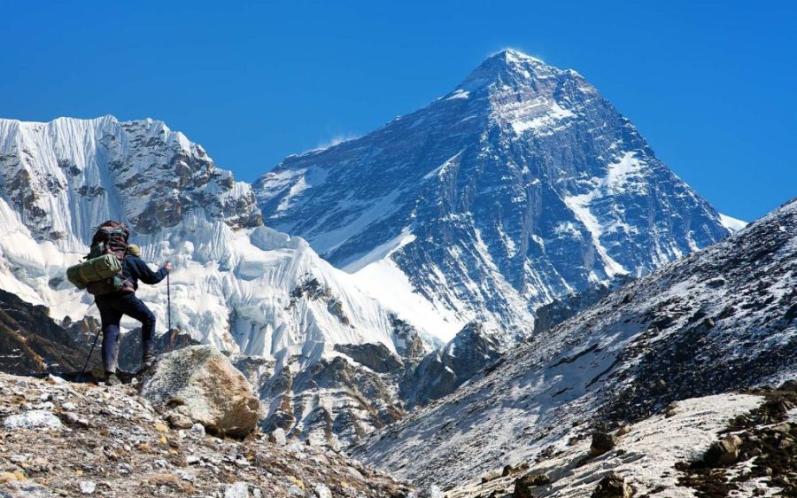
A river is helping lift the tallest mountain on Earth, according to a new study published in Nature Geoscience, which concludes that the erosion and soil loss caused by the river is making Mount Everest 15 to 50 metres taller than it would be otherwise.
Plate tectonics remains the primary force raising the Himalayas, formed 40 to 50 million years ago when the Indian and Eurasian plates collided. But researchers from University College London (UCL) say that the loss of landmass to the Arun River basin, spread across Nepal and Tibet some 75 kilometres from Everest, is inching up the world’s highest peak by up to 2 millimetres more a year.
As the river winds through the Himalayas, it carves away soil and rock from the Earth’s crust, reducing the force on the underlying mantle, causing the thinned crust to flex and float upward. This process, known as isostatic rebound, is not unique to the area. Some 16,000 years after the last ice age occurred, land once depressed by massive ice sheets is still rising around the world.
[See more: Earth is about to get a new ‘mini moon’]
The Arun River flows down from Tibet into Nepal where it merges with two other rivers, the Sunkoshi and Tamur, to form the Saptakoshi (also known as the Kosi River) which in turn flows into northern India to meet the Ganges. While the steepness of the mountain river gives the Saptakoshi more force to carve off soil and rock as it cuts through the Himalayas, UCL researchers believe much of its strength comes from another river or body of water it “captured” 89,000 years ago.
Professor Hugh Sinclair of the School of Geosciences at University of Edinburgh told the BBC that the underlying process identified by the UCL team, which he was not a part of, was perfectly reasonable. However, he cautioned that the exact amounts and timescales of the river cutting away materials and the resulting uplift of surrounding peaks had large uncertainties.
“Firstly, predicting river incision (how the river cuts down into its bed and deepens its channel) of such large catchments in response to drainage capture (one river absorbing another river or lake) is challenging,” he explained. Secondly, the degree of uplift from intensive localised erosion is extremely hard to predict. Despite these reservations, Sinclair lauds the research as representing “an exciting insight.”


