


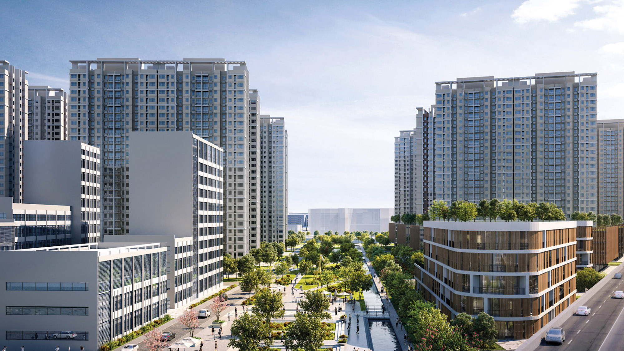
The future face of Macao has been revealed with the publication of the government’s official urban master plan which will shape the city over the course of the next two decades.
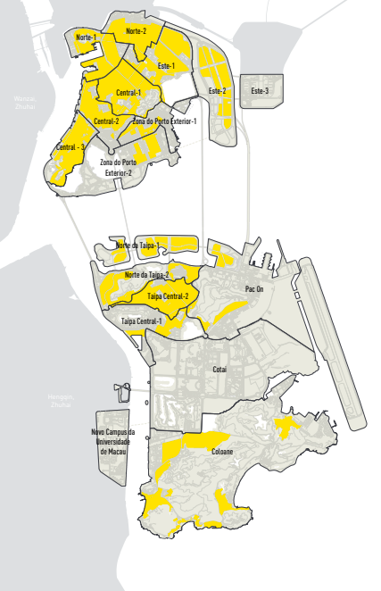
Based on the aim of turning Macao into a world tourism and leisure centre and a “beautiful home” as its main strategy for urban development, the plan divides the city into 18 “sub-areas for planning”, which are classified as urban areas and non-urban areas.
Secretary for Administration and Justice André Cheong Weng Chon said that non-urban areas refer to hills, reservoirs, lakes and wetlands where any urban development is prohibited, accounting for 18 per cent of Macao’s total land area.
The urban master plan sets out a raft of new commercial areas, such as around the Barrier Gate border checkpoint, the site of the defunct Lotus Flower checkpoint in Cotai, the original “Ocean World” plot in Taipa, and an area south of the Macao checkpoint zone of the Hong Kong-Zhuhai-Macao Bridge.
The government also plans to gradually convert the industrial buildings along Avenida de Venceslau de Morais into office buildings.
Industrial facilities scattered across the city will be transferred to four major existing industrial zones, namely the Zhuhai Macao Cross-border Industrial Zone in Ilha Verde, the northern section of Pac On in Taipa, Coloane’s Concórdia Industrial Park and Ká-Hó in Coloane.
Commenting on the plan, Lands, Public Works and Transport Bureau (DSSOPT) officials pointed out that the future Light Rail Transit (LRT) East Line will have a station near the Barrier Gate border checkpoint, adding that commercial facilities will be set up nearby.
The officials also said that the headquarters of the Police Tactical Unit, which is currently located next to the Barrier Gate checkpoint, will be relocated in the future to make way for commercial facilities.
According to the DSSOPT officials, under the urban master plan if condominium unit owners plan to redevelop their industrial buildings along Avenida de Venceslau de Morais, the respective plots of land will no longer be allowed to be used for industrial purposes.
Cheong also said that the government has concluded that after enlarging the Concórdia Industrial Park in Coloane, the four major existing industrial zones would be sufficient to accommodate all the existing industrial facilities scattered across the city such as those along Avenida de Venceslau de Morais and those along Avenida do Almirante Lacerda.
According to the Urban Planning Law, which came into force in 2014, the government is required to draft an urban master plan.
Cheong said that the government has drafted the urban master plan after studying opinions and suggestions from the Urban Planning Council, a government-appointed consultative body tasked with advising the government on its urban planning policies and from residents during a two-month public consultation that was launched in September 2020, reported The Macau Post Daily.


