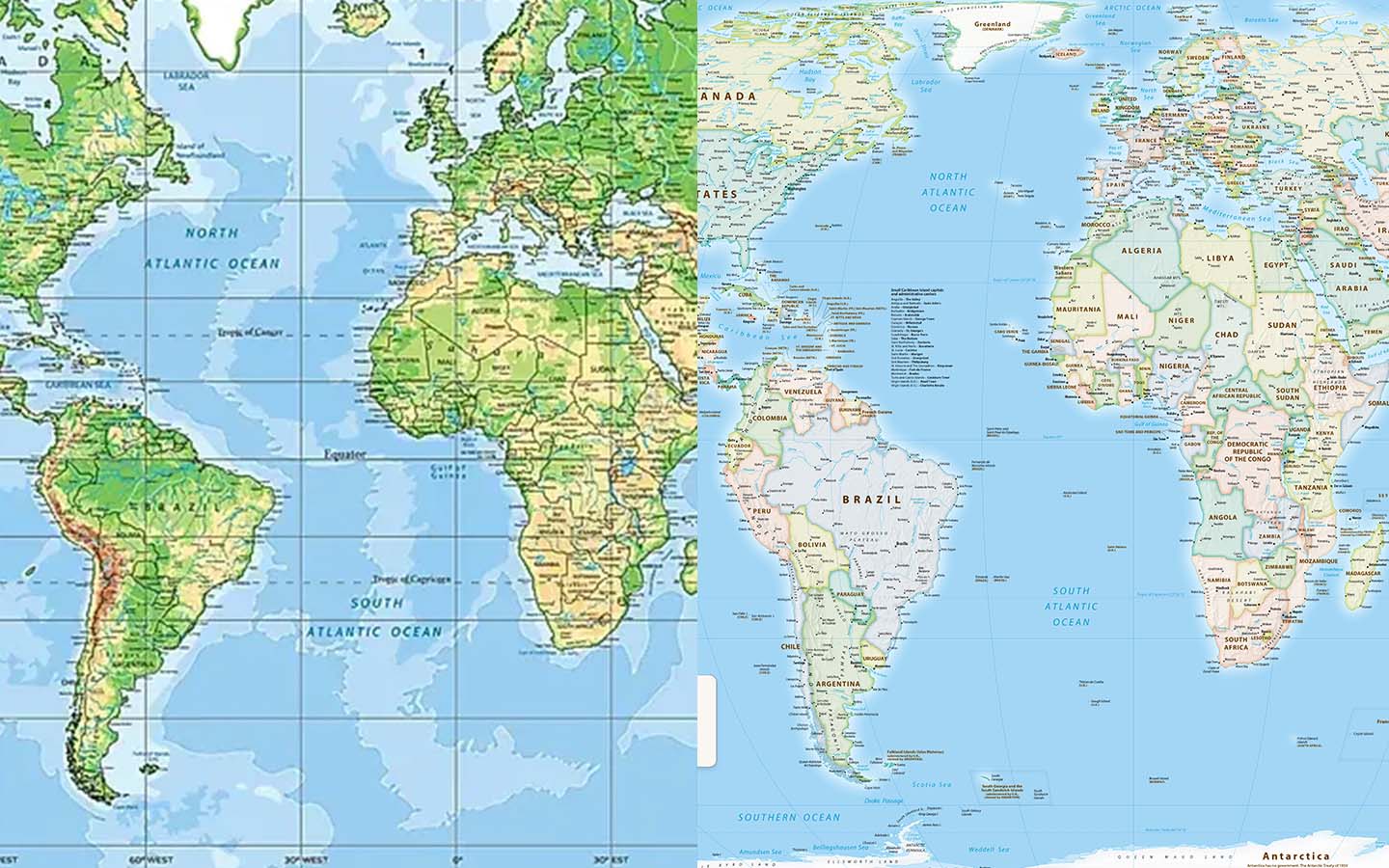
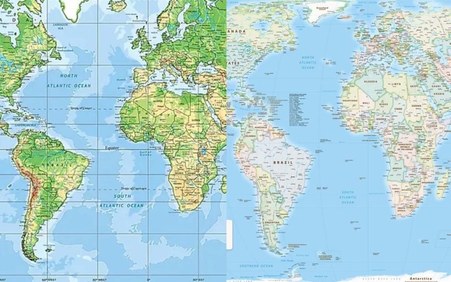
The African Union joins the call for governments and organisations to use a more accurate world map, reports Reuters.
African Union (AU) member states are backing the Correct the Map campaign, led by advocacy groups Africa No Filter and Speak Up Africa, to end the widespread use of the 16th-century Mercator map in favour of a projection that more accurately depicts Africa’s relative size. Created for navigation, the Mercator map significantly exaggerates areas near the poles compared to those along the equator in order to ensure constant true direction, meaning a straight line connecting any two points on the map will travel in the same direction that a compass would show.
“It might seem to be just a map, but in reality, it is not,” AU Commission Deputy Chairperson Selma Malika Haddadi told Reuters, explaining that Mercator has fostered a false impression of Africa as “marginal”, the continent appearing slightly smaller than the Arctic territory of Greenland.
[See more: The Gulf of Mexico is now called ‘Gulf of America’ on Google and Apple Maps]
Africa is the world’s second-largest continent, more than 14 times the size of Greenland, home to over a billion people and dozens of nations. Moky Makura, the executive director of Africa No Filter, called Mercator “the world’s longest misinformation and disinformation campaign”. Fara Ndiaye, a co-founder of Speak Up Africa, said the Mercator affected Africans’ identity and pride, especially children who might encounter it early in school.
Correct the Map is actively working to change that, “promoting a curriculum where the Equal Earth projection will be the main standard across all [African] classrooms,” Ndiaye told the news agency. Created in 2018, the Equal Earth projection is a more visually appealing take on equal-area maps, avoiding gross size distortions while still being easy to use and implement in software. It counts US space agency NASA’s Goddard Institute for Space Studies (GISS) among its earliest adopters and campaigners are pushing for organisations like the World Bank and UN to embrace the map.
The AU, Haddidi said, will advocate for wider adoption and discuss collective actions with its 55 member states. Ensuring more accurate representation of Africa also aligns with the AU goal of “reclaiming Africa’s rightful place on the global stage”, she told Reuters. Other regions are also on board. Dorbrene O’Marde, the vice-chair of the Caribbean Community (Caricom) Reparations Commission, endorsed Equal Earth as a rejection of the Mercator map’s “ideology of power and dominance”.


