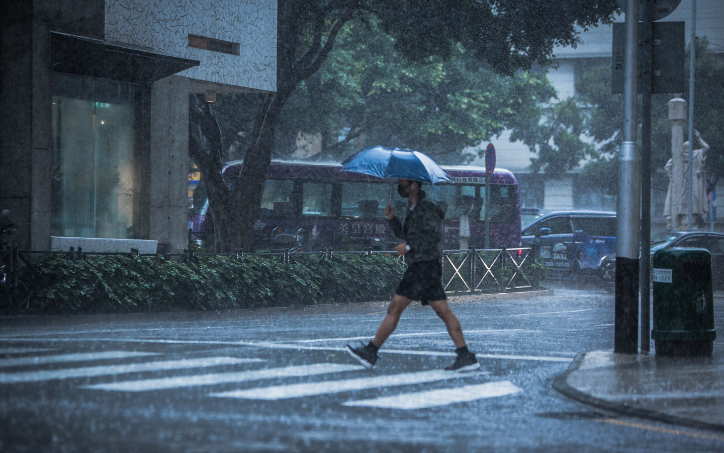
A tropical depression located east of the Philippines is gradually intensifying, Macao’s weather forecasters say. There is a strong likelihood that it will impact the SAR this weekend.
According to the current projections, the storm will come within 800 kilometres of Macao early on Saturday, and then move towards western Guangdong coastal areas.
The Meteorological and Geophysical Bureau has so far been circumspect in its forecasts of potential storm signals, merely noting that meteorologists are “closely monitoring” the storm’s “development and movement.”
It asks the public “to pay attention to the latest weather information.”
[See more: It’s a scorcher: Macao swelters under orange hot weather warning]
However, the observatory in nearby Hong Kong is warning that the storm could develop into a full-blown typhoon, and it has not ruled out the possibility of raising the no. 8 typhoon signal on Sunday.
Hong Kong expects to hoist the no. 1 signal on Friday or early Saturday, and then the number 3 signal later on Saturday.
Depending on the distance between the tropical cyclone and the Pearl River Estuary, as well as its intensity and local wind conditions, the Hong Kong Observatory says it “will assess the need of issuing higher tropical cyclone warning signals on Sunday.”
Under Hong Kong’s warning system, a no. 8 signal indicates that a gale or storm force wind is blowing or expected to blow generally in Hong Kong near sea level, with a sustained wind speed of 63 to 117 kilometres an hour and gusts that may exceed 180 kilometres per hour.


