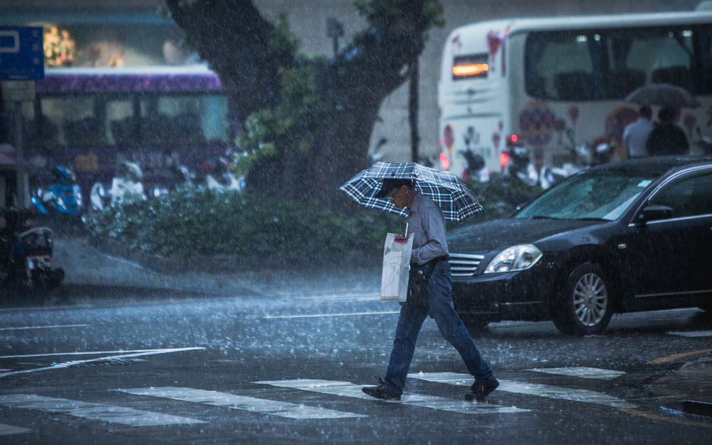
Typhoon signal no. 3 is now in force in Macao, with the gradual approach of tropical storm Toraji. According to the latest forecast from the Meteorological and Geophysical Bureau (called SMG after its Portuguese initials), there is a low to medium chance that the signal will be upgraded to no. 8 between midnight and early morning on Thursday.
The signal means that winds with sustained speeds of 41 to 62 km/h are blowing in Macao and gusts may exceed 110 km/h.
When the signal is raised, members of the public are required to secure their marine vessels; clear drains; ensure that windows, doors and items kept on balconies and rooftops are safe; pay attention to road safety, particularly on bridges; and monitor weather bulletins.
At 7 pm, Toraji was estimated to be about 230 kilometres southeast of Macao and is forecast to move west-northwest toward the northern part of the South China Sea.
[See more: Global climate change is behind the rise in severe typhoons]
According to SMG, Toraji is expected to pass within 150 kilometres south of Macao during the day on Thursday during the daytime before turning southward.
There is also a “relatively low” possibility of a blue storm surge warning being issued. This indicates that low lying areas could see flooding of up to half a metre above road level.
The approach of Toraji follows Typhoon Yingxing, which skirted Macao last week. The appearance of tropical cyclones this late in the year is considered unusual.
