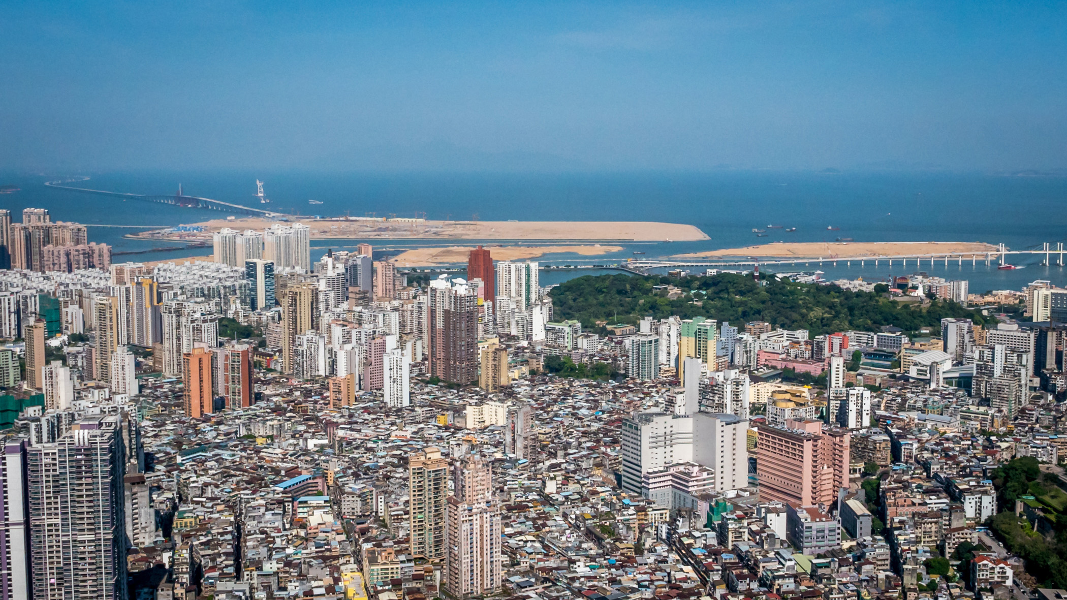
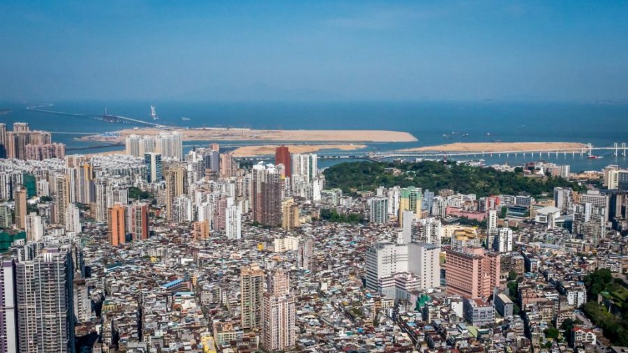
The total land area the Macau Special Administrative Region (MSAR) reached 32.9 square kilometres at the end of last year, an increase of 38.2 percent from the end of 1999, when the MSAR was established and its land area stood at 23.8 sq. km.
During the same period, Macau’s population rose by 52.4 percent, from 438,000 at the end of 1999 to 667,400 at the end of last year.
According to data released by the Statistics and Census Bureau (DSEC) this week, the MSAR’s land area grew by 2.1 sq. km last year. The bureau attributed the 6.8 percent land growth year-on-year to the addition of the newly reclaimed area known as Zone A (1.4 sq. km) and the Macau border checkpoint area of the Hong Kong-Zhuhai-Macau Bridge (0.7 sq. km) to the MSAR’s total land area.
The MSAR’s total land area does not include the about one-square-kilometre University of Macau (UM) campus on Hengqin Island as it is a leasehold granted by the central government. Hengqin belongs to the adjacent city of Zhuhai.
The Macau Basic Law says in its preamble that the MSAR consists of the peninsula of Macau and its two off-shore islands of Taipa and Coloane.
According to data by the Land Registry and Mapping Bureau (DSCC), the peninsula covered 9.3 sq. km at the end of last year. Taipa covered 7.9 sq. km, Coloane 7.6 sq. km and Cotai 6.0 sq. km. The MSAR land area includes its reservoirs.
Historic records show that the territory’ total land area in 1936 – comprising the peninsula (5.2 sq. km), Taipa (2.6 sq. km) and Coloane (6.0 sq. km) – stood at 13.8 sq. km.
In 2015, the central government granted the MSAR jurisdiction over a maritime area of 85 sq. km.
The DSEC statement pointed out that due to the MSAR’s growing land area, its population density fell from 21,100 people per sq. km in 2017 to 20,000 people per sq. km last year, still one of the world’s highest.(Macaunews)


