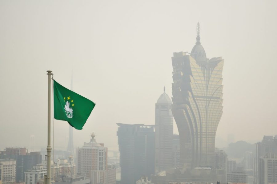
A typhoon signal no. 1 is currently in effect in Macao, and the meteorological bureau (known by its Portuguese initials SMG) says there’s a “relatively high” chance it will be upgraded to a no. 3 between midnight and tomorrow morning – depending on how typhoon Yagi tracks.
“Scorching weather” has been forecast for today, possibly triggering gusty thunderstorms this afternoon. Yagi was about 560 kilometres southeast of Macao as of 8 am, with maximum wind speeds of 105 kilometres per hour at its centre, according to SMG’s tropical cyclone tracker.
While SMG described Yagi’s trajectory as “uncertain”, the typhoon is roughly headed towards the area between Guangdong province’s western coast and Hainan Island. China’s National Meteorological Centre forecasts Yagi to make landfall on Friday, before entering the Beibu Gulf on Saturday.
[See more: Global climate change is behind the rise in severe typhoons]
Yagi, which began developing last Sunday, has already wreaked havoc in the Philippines. It caused floods and landslides, killing more than a dozen people.
In Macao, a signal no. 1 is precautionary. It means that a typhoon is within 800 kilometres of the SAR, and may affect some parts of it. People are urged to prepare for stormy weather and to keep an eye on the latest forecasts.
A signal no. 3 is hoisted if sustained wind speeds of between 41 and 62 kilometres per hour are expected or blowing. Signals no. 8 and no. 9 are progressively more severe, while signal no. 10 means a typhoon’s centre is set to strike Macao with sustained wind speeds exceeding 118 kilometres per hour.


