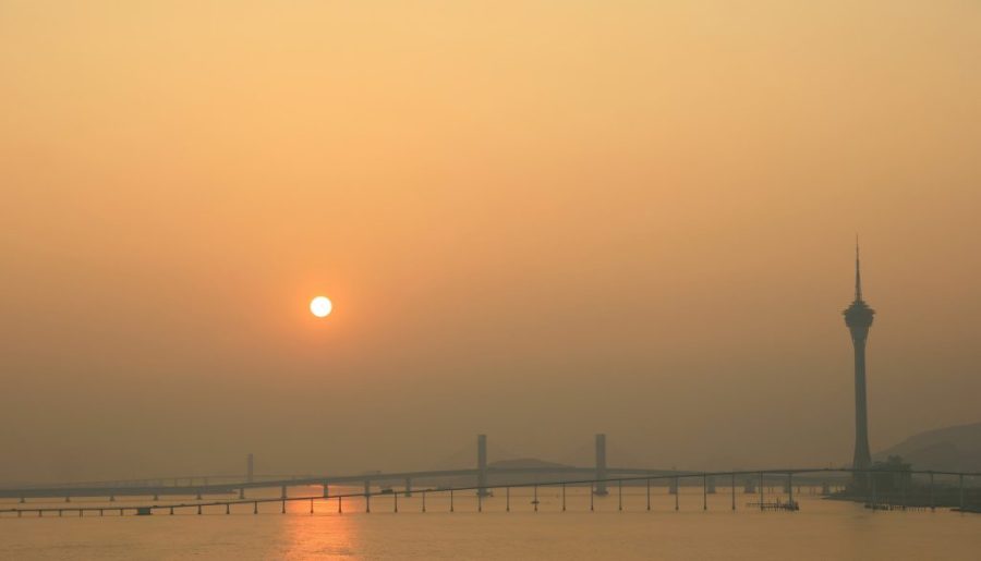
Weather forecasters say there is a “medium” chance of the no. 8 typhoon signal being hoisted between tomorrow night and the early hours of Friday morning.
The Meteorological and Geophysical Bureau (often known by its Portuguese initials SMG) says that Typhoon Yagi was estimated to be about 520 kilometres southeast of Macao at 2 pm and was intensifying as it moved west-northwest toward the area between the western coast of Guangdong and Hainan Island.
It is currently packing winds of 130 kilometres per hour at its centre and is forecast to develop into a super typhoon by Friday, when Yagi is expected to pass some 300 kilometres to the south of Macao.
[See more: Global climate change is behind the rise in severe typhoons]
A no. 8 typhoon signal means that winds with sustained speeds of 63 to 117 kilometres per hour are expected or blowing and gusts may exceed 180 kilometres per hour. Schools are suspended, offices are closed, and public transport may be seriously disrupted.
Presently, typhoon signal no. 1 is in effect, with the SMG saying there is a “relatively high” chance it will be upgraded to a no. 3 between midnight and tomorrow morning – depending on how typhoon Yagi tracks.
Forecasters say there is also a “relatively high” chance of a blue storm surge warning tonight or in the early hours of tomorrow, meaning that in flood prone areas – such as Porto Interior – flooding of up to 50 cm above road level could occur.


