Macao’s Meteorological and Geophysical Bureau (known by the Portuguese initials SMG) lowered all typhoon warnings early this morning as tropical storm Wipha moved further away from the territory.
At 6 am Wipha, which has been downgraded from a typhoon, was estimated to be about 350 kilometres west-southwest of Macao and forecast to move west-southwest over the coast of western Guangdong.
Weather will nonetheless be unsettled in Macao today. Showers and thunderstorms are forecast, along with strong southerly winds and occasional gusts. Thundery showers will persist for most of this week.
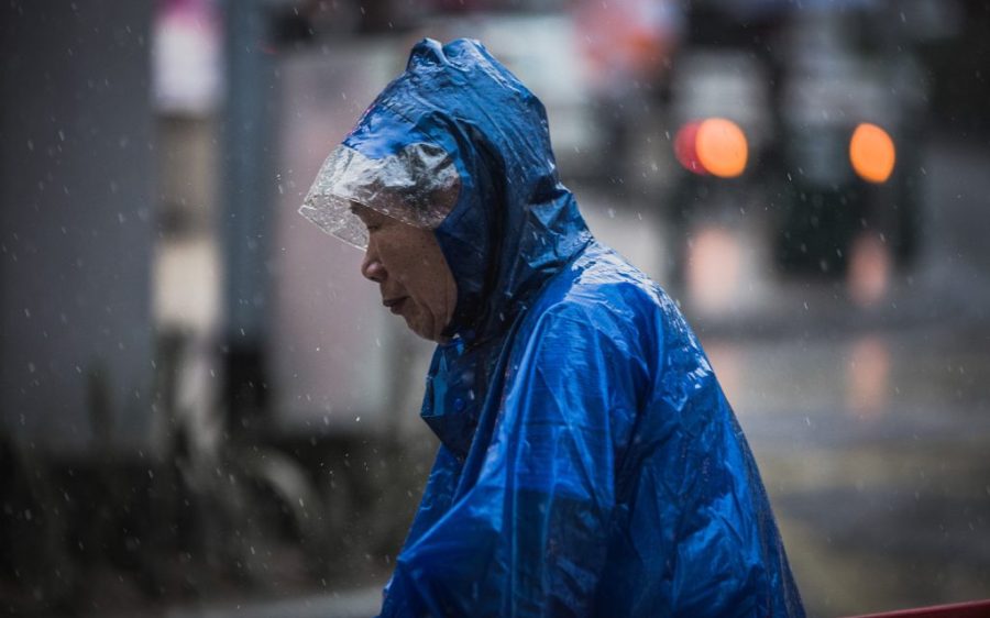
At its height yesterday afternoon, Wipha scored a direct hit on Macao, prompting the SMG to issue a no. 10 signal – the city’s highest alert. Packing maximum sustained wind speeds in excess of 118 kilometers per hour, Wipha caused widespread disruption in Macao and neighbouring cities like Zhuhai and Hong Kong.
[See more: Global climate change is behind the rise in severe typhoons]
Hundreds of flights were cancelled, most public transport suspended, and businesses were closed as Wipha barreled through the area.
In Macao, nearly 140 people sought refuge in government shelters. As of 9 pm last night,
the Civil Protection Operations Centre had recorded 54 cases of damaged buildings or other structures and more than 100 cases of fallen objects, including signboards, windows and constructions scaffolding
Health Bureau and Kiang Wu Hospital officials said 5 people were injured during the passage of the typhoon.


