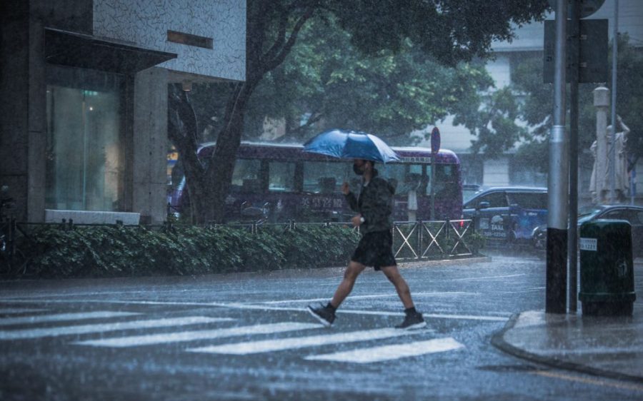
The Meteorological and Geophysical Bureau (known by its Portuguese initials SMG) raised the no. 1 typhoon signal yesterday evening – the first time a typhoon signal has been hoisted this year.
There’s a relatively high chance this will be upgraded to a no. 3 signal today, according to the bureau. Thunderstorms and heavy rainfall have been forecast, along with temperatures up to 27 degrees – with a wet weekend in store.
As of 2 am, the tropical depression was located about 440 km south-southwest of Macao and moving towards the western coast of Guangdong province.
[See more: Storm warning signals are being issued with greater frequency in Macao]
The low-pressure area is expected to make landfall somewhere between western Guangdong and the Pearl River Delta area either today or early Saturday morning.
There isn’t much chance of significant storm surges in the city, as the astronomical tide won’t be high over the next two days. Low-lying areas could experience flooding due to persistent rainfall, however.
Between five and eight typhoons are predicted to come within 500 kilometres of the Pearl River Delta in 2024 – “an above-normal level”, according to the director of the Hong Kong Observatory, Dr Chan Pak-wai.


