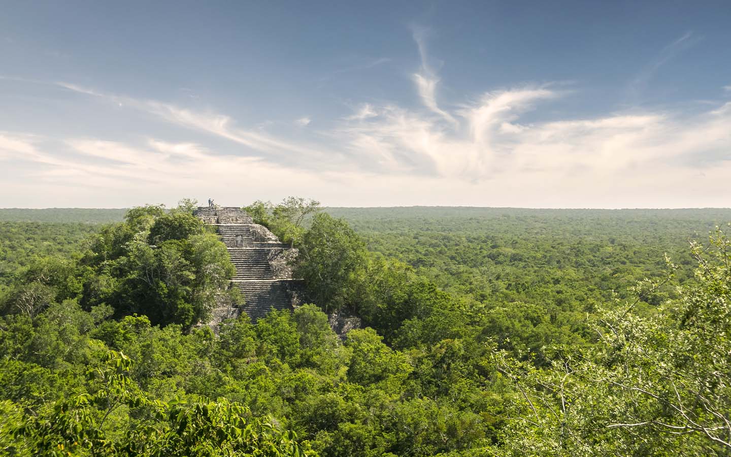
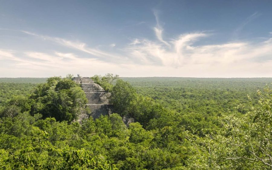
Most people never make it past the first page of their search results but for one PhD student, buried among the list of links was the data he needed to discover a huge Maya city hidden in the jungle.
Named Valeriana after a nearby lagoon, the city was about half the size of Macao, comprising two major centres 2 kilometres apart, linked by dense houses and causeways. The nearly 7,000 buildings included pyramids, sports fields and amphitheatres. Researchers believe it was second in density only to Calakmul, some 100 kilometres away, thought to be the largest Maya site in ancient Latin America.
Luke Auld-Thomas, a PhD student at Tulane University in the southern US, made the discovery “by accident” he says. “I was on something like page 16 of Google search and found a laser survey done by a Mexican organisation for environmental monitoring,” he told the BBC. Processing the data with methods used by archaeologists, however, revealed a city once home to as many as 50,000 people buried beneath the soil.
[See more: New archaeological finds open a window into Brazil’s past]
The discovery bolsters claims that Maya lived in complex cities or towns, rather than isolated villages, Professor Elizabeth Graham from University College London told the BBC. Graham, who was not involved in the research, emphasised that while the landscape may appear uninhabited or wild to the naked eye, it was clearly settled in the past.
The variety and number of buildings, even evidence of a reservoir, all point to Valeriana being a bustling, densely populated city with the “hallmarks of a capital.” As Maya civilisations began collapsing from 800 CE onwards, however, that density made the city more vulnerable to the changing climate. When drought conditions began, it was “just completely full of people” and “didn’t have a lot of flexibility left,” Auld-Thomas told the BBC. Spanish conquest of the region in the 16th century also contributed to the demise of the Maya city states.
Auld-Thomas’ discovery is one of many made with Lidar, a remote sensing technique in which thousands of laser pulses are fired from a plane and the time it takes for the signal to return is used to map objects below. The area Lidar can map in a decade, co-author Professor Marcello Canuto told the BBC, is 10 times what archaeologists could do by hand in a century. So many sites have been discovered, in fact, that researchers cannot excavate them all. Even if he can’t dig there, Auld-Thomas hopes to go to Valeriana at some point – particularly as it’s just a 15-minute hike from a major road in the town of Xpujil, located in Mexico’s Campeche state.


