The growing intensity and broad circulation of tropical storm Wipha means that there is a “high probability” of typhoon signal no. 3 being raised in Macao tomorrow, local meteorologists say – with the chance of a higher signal not being ruled out on Sunday.
Under Macao’s typhoon warning system, a no. 3 signal means that winds with sustained speeds of up to 62 kilometres per hour are expected with gusts that may exceed 110 kilometers per hour.
When a no. 3 signal is raised, residents are asked to check the stability of doors and windows, clear drains, and secure loose outdoor items such as plant pots and garden furniture. Motorists should pay close attention when using cross-sea bridges.
At 8 am, Wipha was estimated to be about 1,250 kilometres east-southeast of Macao and forecast to move northwest toward the Philippines.
[See more: High temperatures in Macao have been causing at least 10 heatstroke cases a day]
In a bulletin issued at 11:25 am, the Meteorological and Geophysical Bureau (known as the SMG after its Portuguese abbreviation) said that Wipha “may move closer to the Pearl River Delta, with its impact on Macao being most significant” on Sunday.
The bureau said it will then “assess the probability of issuing a higher level tropical cyclone signal and storm surge warning.”
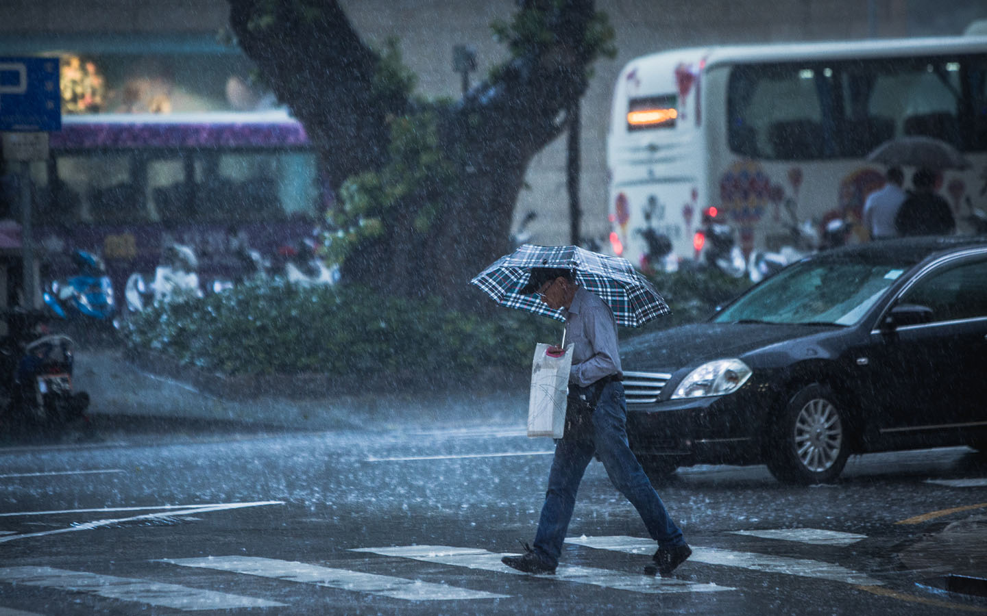
Rain and thunderstorms were already affecting Macao and nearby Hong Kong from Friday morning, with Macao’s neighbouring SAR issuing a flood warning for its northern suburbs.
The SMG has also reminded residents of Macao to take “timely precautions” against flooding.


