Tropical Cyclone Signal No. 1 was hoisted by the Macao Meteorological and Geophysical Bureau (SMG) tonight.
According to an SMG statement, the stand-by signal went up at 7 p.m.
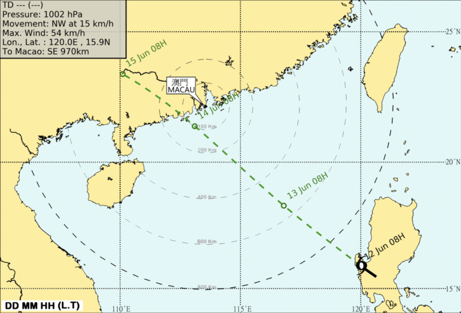
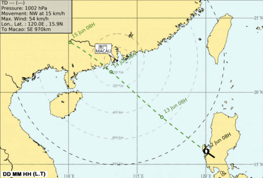
“The No. 1 will remain in effect for a period of time,” the statement said, adding that the No. 1 signal is hoisted when a tropical cyclone is centred within 800 kilometres of Macao and may affect Macao.”
According to the statement, at 8 p.m. the storm was estimated to be about 750 km southeast of Macao and was forecast to move northwest at about 18 km/h.
Meanwhile, the Hong Kong Observatory said it would issue its first storm warning of the year tonight as the tropical depression approaches Hong Kong, the city’s public broadcaster RTHK reported at 8:30 p.m.
The Hong Kong Observatory said the tropical cyclone would intensify gradually and edge closer to the coast of western Guangdong in the next couple of days.
The observatory said it would be very hot tomorrow, with a few showers and thunderstorms.
Hong Kong Observatory Senior Scientific Officer Yeung Kwok-chung said the tropical cyclone would be closest to Hong Kong on Sunday, bringing squally showers and swells to the seas, and a few showers on Monday and Tuesday.
He told RTHK that there was still a degree of uncertainty over the intensity and subsequent movement of the tropical depression as it was still some distance away from Hong Kong.
(The Macau Post Daily/Macau News)
PHOTO © Macao Meteorological and Geophysical Bureau (SMG)


